The IMPACT Community Carbon Calculator gives you a visual representation of your community’s carbon footprint, helping you spot the areas where your community’s climate change activities can make the biggest difference.
Resource
The IMPACT Community Carbon Calculator gives you a visual representation of your community’s carbon footprint, helping you spot the areas where your community’s climate change activities can make the biggest difference.
Provided by: Centre for Sustainable Energy (CSE)


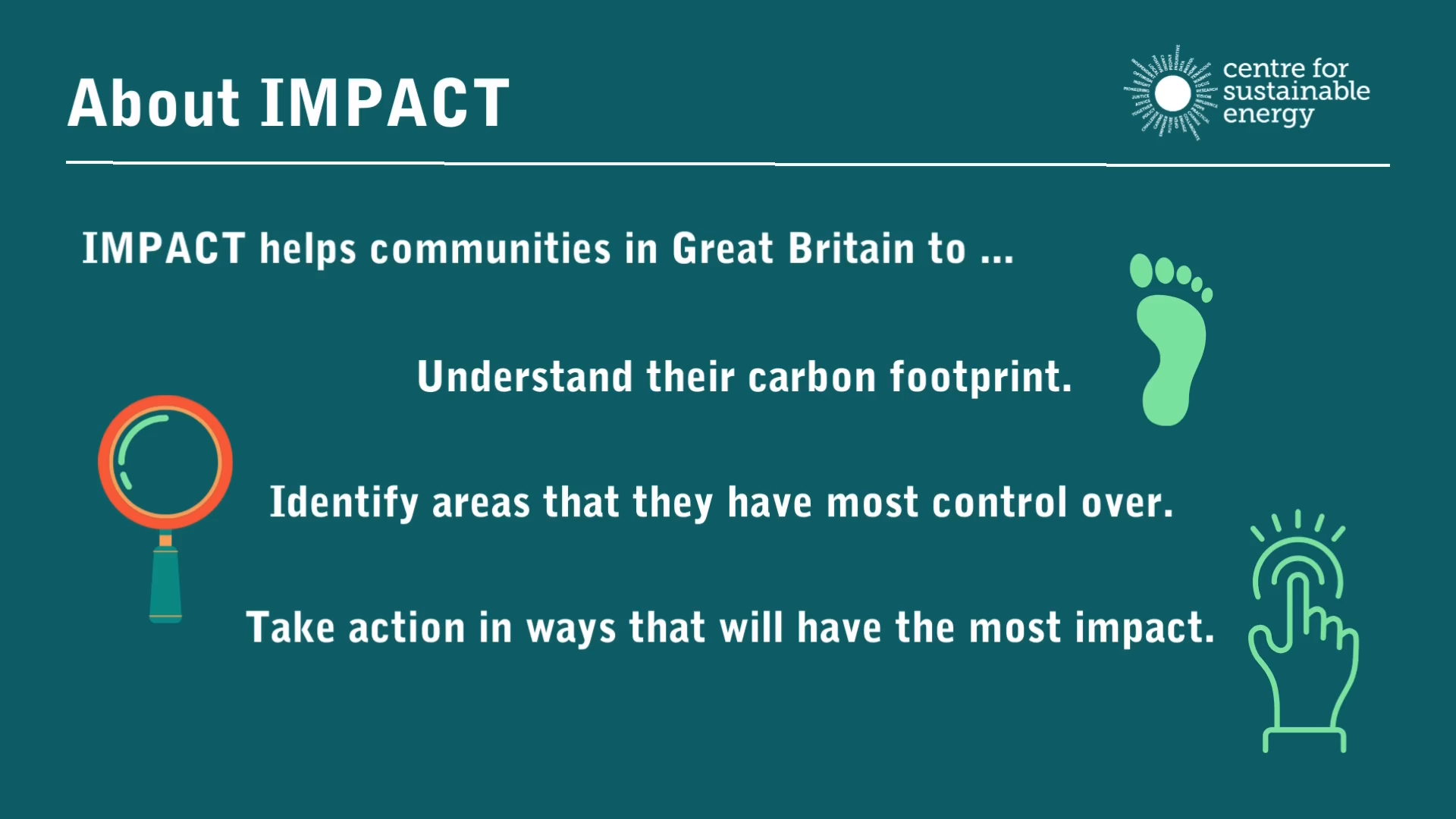 IMPACT is an estimator of a community’s carbon footprint that works for parishes, wards, district councils, and unitary authorities.
It draws on more than 30 datasets to estimate the total amount of greenhouse gases produced directly and indirectly as a result of everyday human activities in the given locality – heating homes, using electricity, transport, producing and distributing food, disposing of waste, etc.
It presents this information in a visually engaging way that is easy to interpret and easy to share.
IMPACT has been designed to help you and your community to access, analyse, and act on your community’s carbon footprint and to give you a better idea of where to target your efforts for the greatest impact in tackling the climate emergency.
The tool produces two different types of carbon footprint for each parish, ward or council area, which represent two different carbon accounting approaches:
This shows the emissions produced as a result of what people within your parish, ward, or council area use in their daily lives. This includes the obvious things like gas, electricity and petrol, but also products like food and drink, clothes, shoes, consumer electronics and appliances, as well as financial services, even where these emissions take place outside of the local area.
This shows the emissions produced within the territorial boundaries of your parish, ward, or council area, and is based on what happens in that space. So this includes emissions from the presence of roads or other transport systems, or local agriculture and manufacturing, whether or not local people were travelling on that road or use those products and services.
Designed to aid Local Authorities in developing robust, evidence-based plans to enable Net Zero.
Already have an account? Login
 Guest preview of selected publicly available resourcesFull library of 1,000+ articlesCPD accredited e-learning coursesCase studiesDiscussion forum