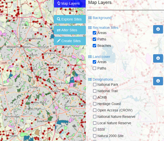
Developed by the Land, Environment, Economics, and Policy Institute (LEEP) at The University of Exeter, the Outdoor Recreation Valuation tool (ORVal) is a freely accessible web-based tool that predicts the number of visits to green spaces in England and estimates the welfare value in monetary terms.
The Outdoor Recreation Valuation tool (ORVal) is a freely accessible web-based tool that predicts the number of visits to greenspaces in England and estimates the welfare value in monetary terms. It was developed by the Land, Environment, Economics and Policy (LEEP) Institute at the University of Exeter with funding support provided by DEFRA.

The primary purpose is to provide information that might be useful to government, businesses, and communities in understanding the benefits that are derived from accessible greenspace in England, for example, as part of strategic or project appraisal, policy evaluation, or natural capital accounting.
It can be used by planners to examine how the value of visits would change if land cover was changed or if new green spaces were created. Results can be grouped by local authority area or catchment and can be split by socio-economic group.
Greenspaces covered include parks, countryside paths, woods, beaches, allotments, cemeteries, and nature areas, and it also covers habitat types – woodland, agriculture, and natural grass; designated areas such as nature reserves; and points of interest such as historic sites and playgrounds.
ORVal has three key functions:
- It allows users to explore the usage and welfare values that are generated by currently accessible greenspaces. Welfare values can be viewed at individual site level or aggregated by regions.
- It allows users to estimate how usage and welfare values might change if the characteristics of a recreational greenspace were changed.
- It allows users to draw new recreation sites on the map, define their characteristics, and estimate the usage and welfare values that might be generated by creating that new greenspace in that particular location.
End of Preview
