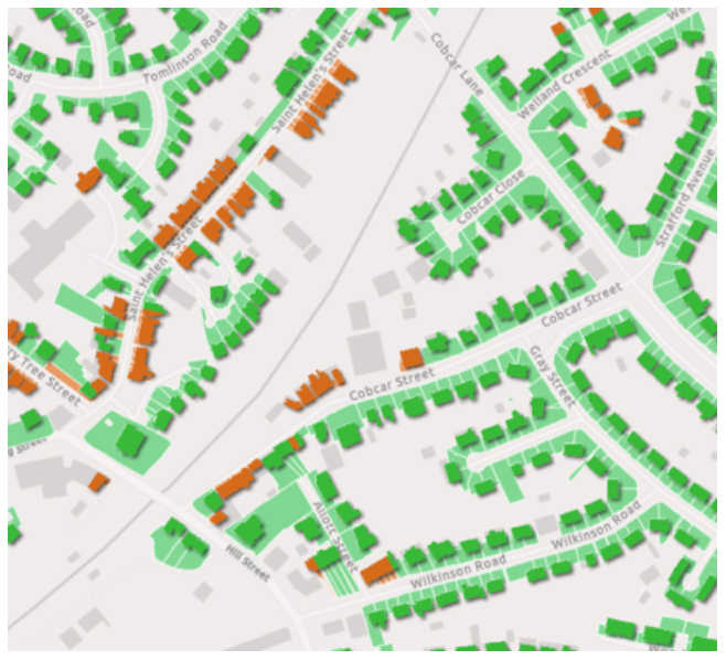
This dataset offers a comprehensive assessment of domestic properties, determining whether each dwelling has the potential to accommodate off-street parking within its land boundary.
Resource
This dataset offers a comprehensive assessment of domestic properties, determining whether each dwelling has the potential to accommodate off-street parking within its land boundary.
This dataset offers a comprehensive assessment of domestic properties, determining whether each dwelling has the potential to accommodate off-street parking within its land boundary. The dataset divides each land parcel into front and rear sections by utilising a line parallel to the road. The section that intersects with a road is identified as the front garden area and therefore potentially suitable for off-street parking.
This dataset plays a pivotal role in enabling informed decisions regarding parking space availability for domestic properties and supporting efficient land use.

| Product Format | Point (.csv, .json, .xml) |
| Delivery Method | Digital delivery |
| Geographic Coverage | National (GB) |
Designed to aid Local Authorities in developing robust, evidence-based plans to enable Net Zero.
Already have an account? Login